Description
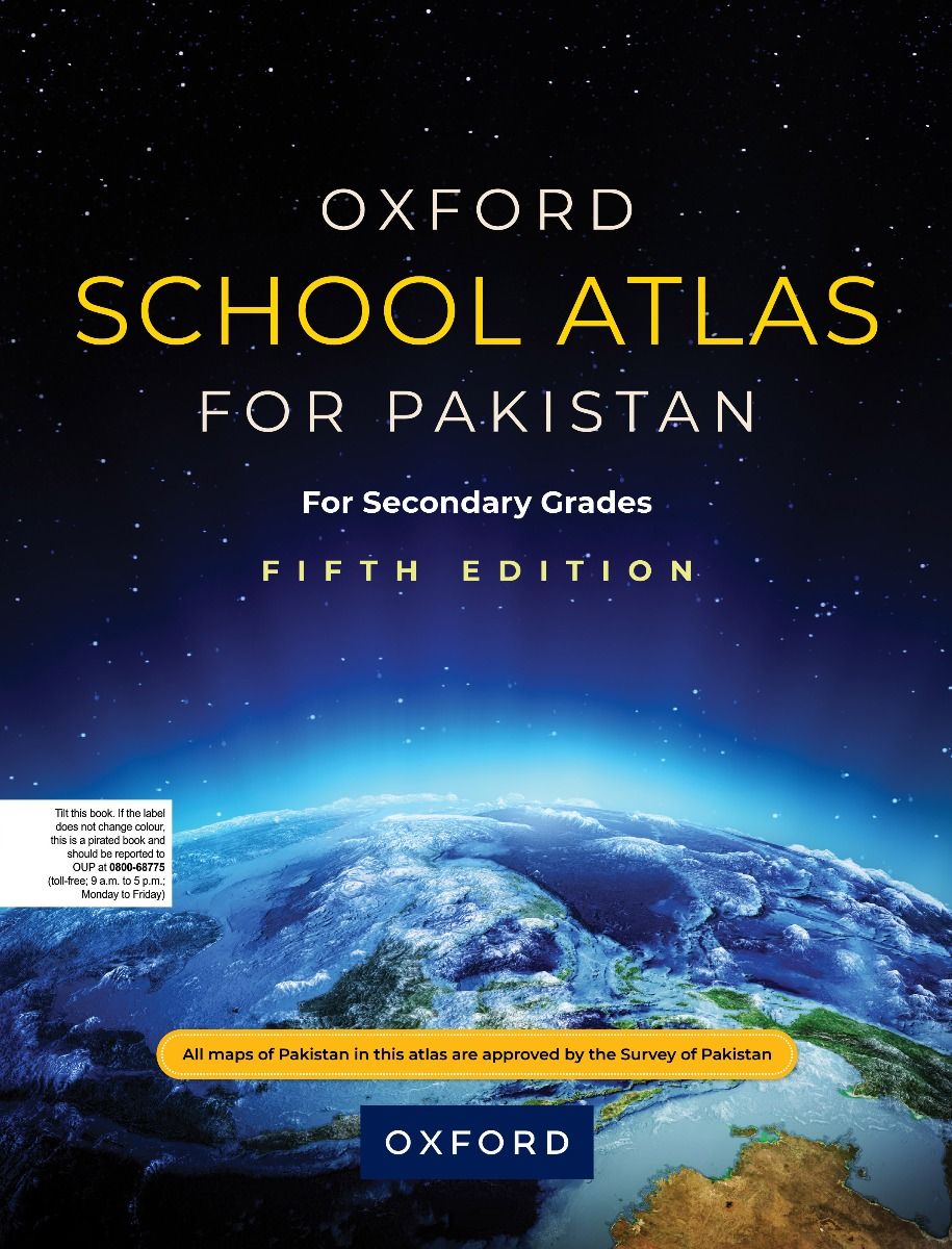
Oxford School Atlas for Pakistan
Key Features:
- Geographical data is explained through clear, detailed, and comprehensive maps Authentic and updated maps accompanied with graphs and tables, based on current statistical information
- Physical, political, and thematic maps of Pakistan and the world
- Maps based on tourism, telecommunications, environment, and socioeconomic data
- Map of the world’s time zones
- Integrated with Geography and Environmental Management curriculum for Cambridge GCSE O Levels
- Easy-to-use table of contents
- Supplemented by a section on World Datasets
- A Comprehensive gazetteer with over 10,000 entries
- Ideal for students in secondary, higher secondary, and tertiary levels
- An indispensable source of reference for teachers and researchers, and commercial and other organizations


Reviews
There are no reviews yet.